부정기
2018.09.16 20:28
9/22/2018 (토) Gap/Ridge Large Loop
Views 22325 Comment 11
?
Larger Font
Smaller Font
Up
Down
Update Log Go comment
Print Shortcut
PrevPrev Article
NextNext Article
?
Larger Font
Smaller Font
Up
Down
Update Log Go comment
Print Shortcut
PrevPrev Article
NextNext Article
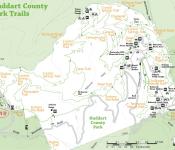
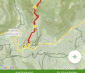
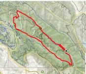
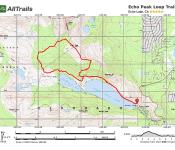
| 산행지 | Gap/Ridge Large Loop |
|---|---|
| 난이도 | Moderate (중간) |
| 예상거리 (mi) | 13 mi |
| 고도변화 (ft) | 2300 ft |
| 예상 산행시간 (hr) | 6 시간 |
| 모이는 시간 및 장소 | Saratoga Gap 주차장 ( 37.258327, -122.121298 ) @8:30 AM |
| 산행 준비물 | 점심 및 간식, 충분한 양의 물 |
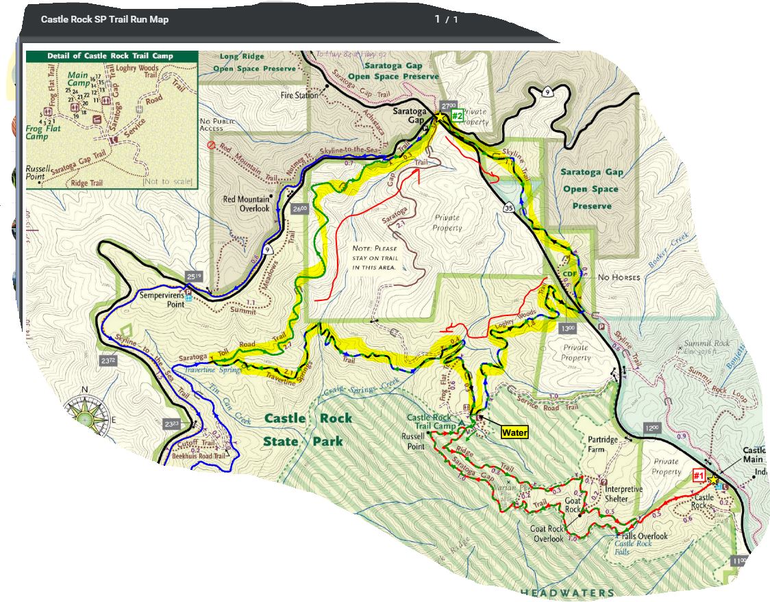
아리송님이 올리신 것을 참고했습니다.
여기 파킹랏이 MTB 바이커나 하이커들로 일찍 찰수 있습니다. 해서 산행시작 시간을 8시30분 으로 정했습니다.
찾아 오는길 : https://goo.gl/maps/9vdhgpJXN9t
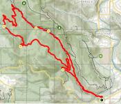
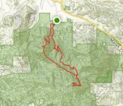
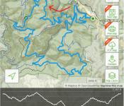
Favorite Run #2: Gap/Ridge Large Loop (13.0 mi, ~2300 feet elevation gain)
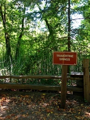
This loop is a challenging but beautiful run with some great climbing and excellent views. It incorporates the highlights of the previous run with a trip to Travertine Springs and a steady, moderate climb up Saratoga Toll Road. For this route we strongly recommend that you bring a trail map or download the GPX track to your GPS device, since some of the turns are confusing. This run starts at the Saratoga Gap parking lot. To start the run, head south on the Skyline trail, which begins at the southeast side of the parking lot (the side of the parking lot opposite from Hwy 9). Route Details:
https://www.alltrails.com/explore/map/skyline--240 (아마도 링크를 클릭하면 안보이실 겁니다. 아래 맵이...) 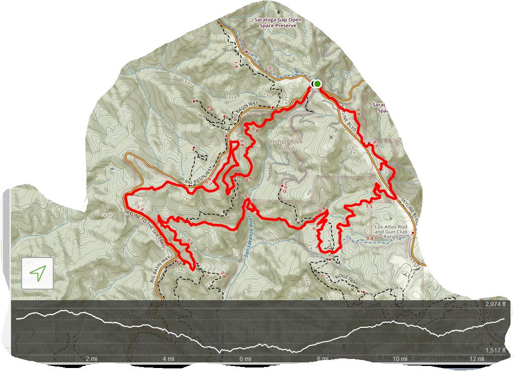 |
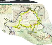
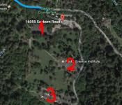 9/29/2018 (토)Sanborn County Park
-
 1번으로 참가합니다.
 -
?
반갑습니다
추석이 다가오니 송편을 준비해야겠어요.^^ -
아, 맞아요. 추석이 다가 오네요.
송편 산행 기대 됩니다. ^^ -
?
Journey/미미 참가합니다.
-
?
참석합니다. 송편 먹으러~
-
?
입하나 덜어도 되는데요...
ㅎㅎ장난이예요맛난 배까지 준비해야겠네요~~ -
 송편 남는 거 그 다음 날 산행에 갖고 오실거죠?ㅎㅋ
 -
?
네
-
THX
-
?
창공님,미미 져니님, 두물차님,부엉이 솔개님, 저 동행
내일 뵙겠습니다. -
?
솔개& 부엉이 참가합니다.
26일 걷고도 아직 미련이 남는가 봅니다.